BAS Legacy Maps
- Collections
- Edition
- 3
- Published
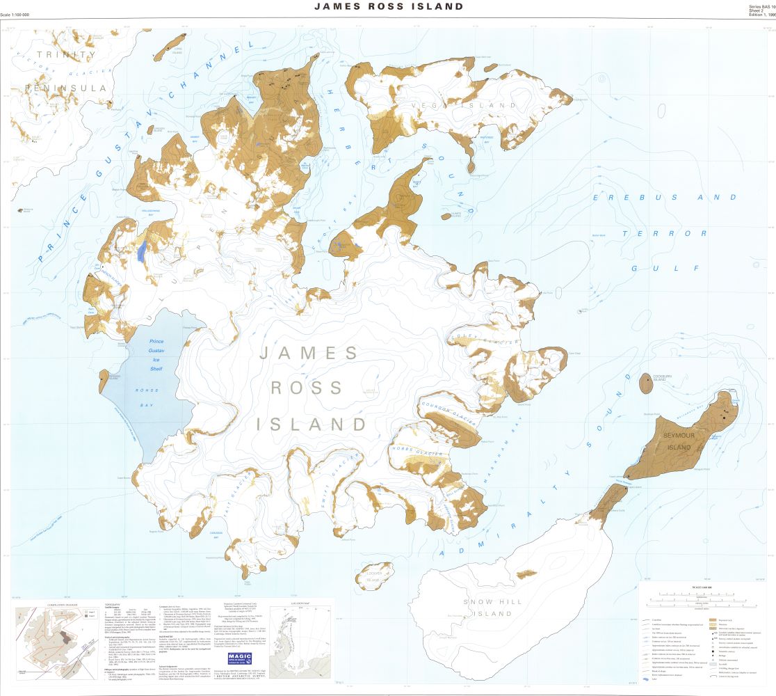
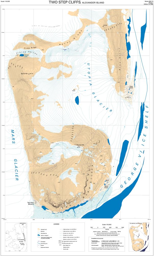
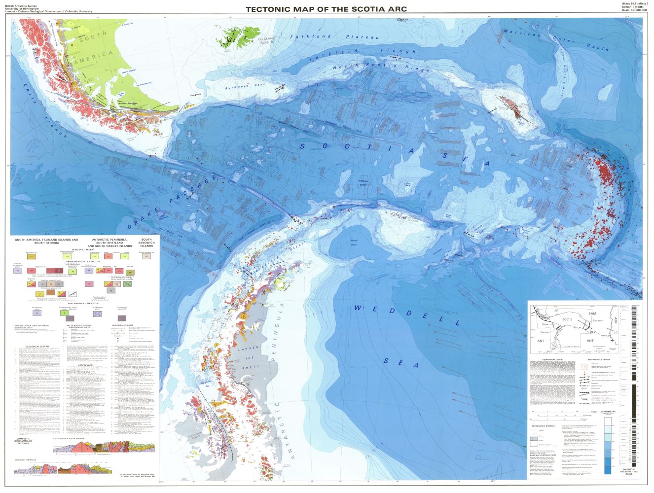
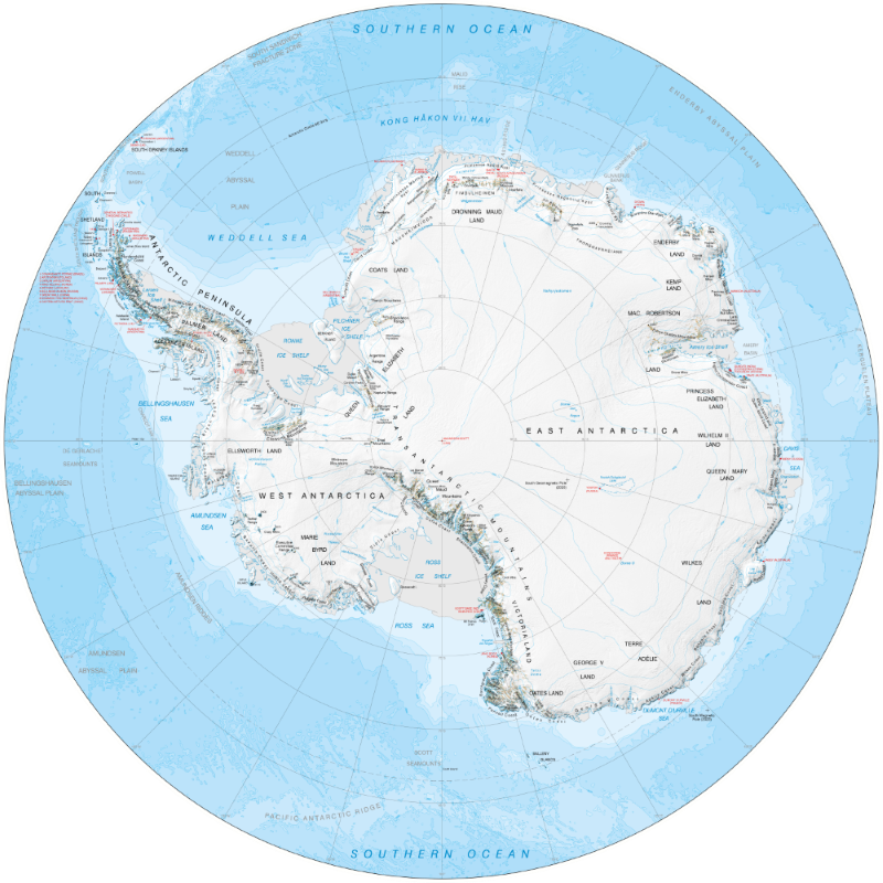
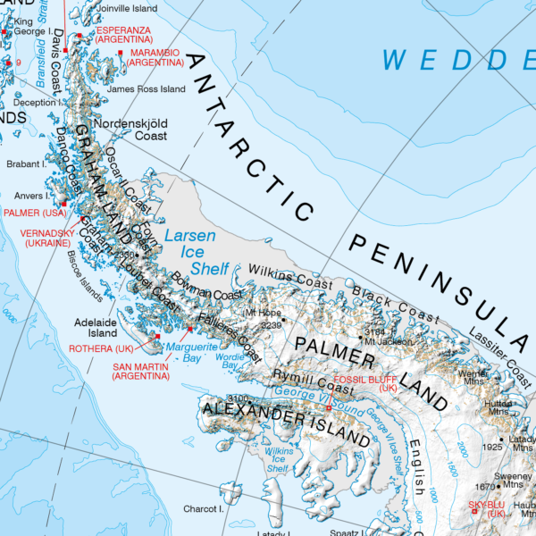
A collection of legacy, superseded and historical Antarctic maps produced by the Mapping and Geographic Information Centre, British Antarctic Survey, or its predecessors. This collection does not contain all previous maps, but more will be added here over the coming months and years.
Most maps are available under an open licence, others might be restricted to BAS staff members, as detailed in each item.
The quality and accuracy of each map is variable when compared to modern day standards. Further details can be found in each item, within the lineage statements and printed on the map.