Automatically extracted rock outcrop dataset for Antarctica
- Collections
- Edition
- 7.3
- Published
Please cite this item as: 'Gerrish, L. (2020). Automatically extracted rock outcrop dataset for Antarctica (7.3) [Data set]. UK Polar Data Centre, Natural Environment Research Council, UK Research & Innovation. https://doi.org/10.5285/178ec50d-1ffb-42a4-a4a3-1145419da2bb'.
A rock outcrop dataset for all of Antarctica, automatically extracted from Landsat 8 imagery. The original dataset was published in the following paper 'An automated methodology for differentiating rock from snow, clouds and sea in Antarctica from Landsat 8 imagery: a new rock outcrop map and area estimation for the entire Antarctic continent', The Cryosphere, 10, pp1665-1677, doi:10.5194/tc-10-1665-2016. This version has been updated in places to match the current coastline, and areas outside of the ADD data limit have been removed.
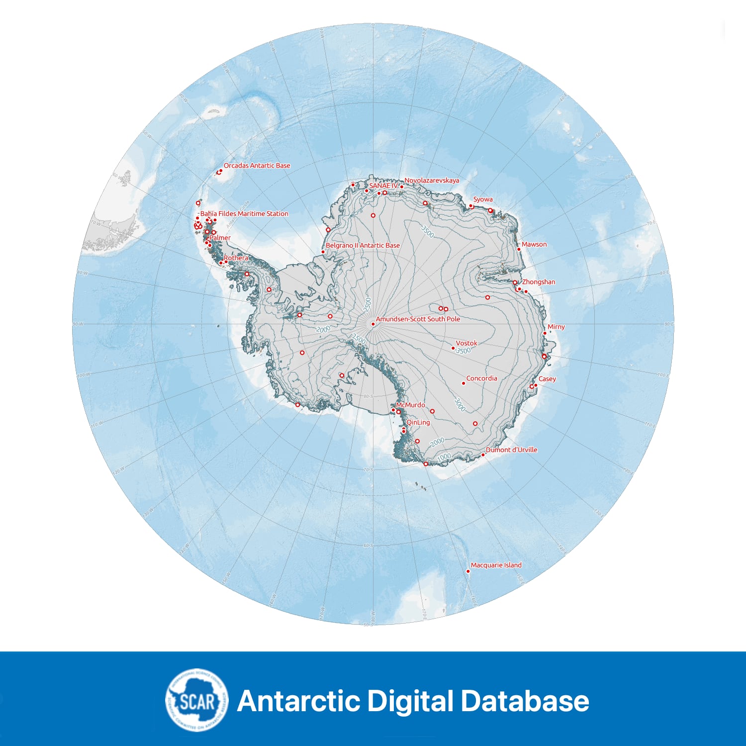
Data compiled, managed and distributed by the Mapping and Geographic Information Centre and the UK Polar Data Centre, British Antarctic Survey on behalf of the Scientific Committee on Antarctic Research.