Rothera Station Hazards and Instruments
- Collections
- Edition
- 5
- Published
Produced by the Mapping and Geographic Information Centre, British Antarctic Survey, 2026, version 5, https://data.bas.ac.uk/maps/2062.
Site map of Rothera Research Station, showing locations of hazards, instruments, buildings, and access and exclusion zones. Operations data plotted by Mapping and Geographic Information Centre with assistance from Facilities Engineering, Operations and Air Unit teams.
Projection: WGS84 UTM Zone 19S / Vertical datum: EGM2008.
Data sources and references can be found in the lineage.
This is a licence summary, see the Formal Licence External link, opens in a new window. for more information.
Bounding Coordinates
- South-West Corner (min x/y)
- South: -67.57416, West: -68.1386
- North-East Corner (max x/y)
- North: -67.56239, East: -68.1086
Temporal Range
- Start
- End
- -
Lineage Statement
Map Produced in ArcGIS Pro v3.7. Zoning and instrument location data was collated by Mapping and Geographic Information Centre, and checked with appropriate teams.
Data Sources
- Imagery: Rothera minimum snow cover survey orthomosaic, acquired February 2026, British Antarctic Survey
- Coastline: Gerrish, L., Ireland, L., Fretwell, P., Cooper, P., & Skachkova, A. (2026). High resolution vector polylines of the Antarctic coastline (Version 7.12) [Data set]. NERC EDS UK Polar Data Centre. https://doi.org/10.5285/dbaf29f5-c8dc-4e79-aeb1-1df316e951ec - edited to more accurately match imagery.
- Elevation (station area): Rothera minimum snow cover survey 2025, British Antarctic Survey
- Elevation (ramp): Howat, Ian, et al., 2022, “REMA v2”, doi.org/10.7910/DVN/EBW8UC, Harvard Dataverse, V1, accessed Aug 2026.
- Instruments: BAS Engineering team
- Station and hazard zones: BAS Station Operations and Engineering teams
- Runway restrictions: BAS Air Unit
Replaces
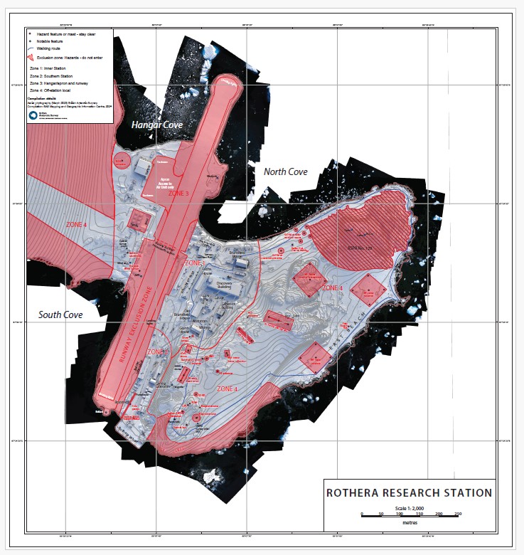
Site map of Rothera Research Station, showing locations of hazards, instruments, buildings, and access and exclusion zones.
Part of these collections
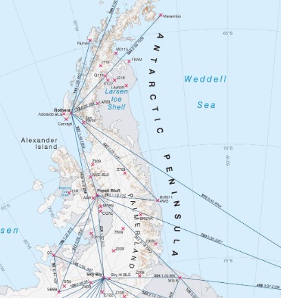
A collection of maps produced for BAS Operations activities by the Mapping and Geographic Information Centre, British Antarctic Survey.
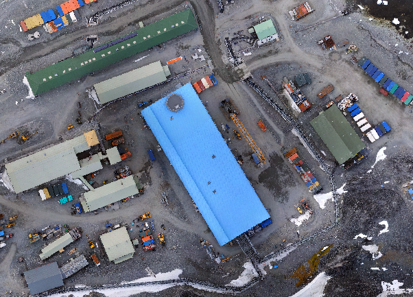
A collection of maps produced for BAS Polar Estates activities.
Item Information
- Item ID
- 1ed3bf59-2cfb-4eef-a161-496972020941
- Item Type
- PRODUCT (MAP)
- Page Size
- 66.04 x 71.12 mm (width x height)
- Aliases
- Item edition
- 5
- Item Created
- Item Published
- Item Released
- Item Status
- Item is complete and recommended for general use
- Item Update Frequency
- Item may be updated if needed
Metadata Information
- Last updated
- Metadata Standard
- ISO 19115-2 Geographic Information - Metadata - Part 2: Extensions for Imagery and Gridded Data
- Metadata Standard Version
- ISO 19115-2:2009(E)
- Metadata Profiles
- British Antarctic Survey (BAS) Mapping and Geographic Information Centre (MAGIC) Discovery Metadata Profile (v2) External link, opens in a new window.
- British Antarctic Survey (BAS) Mapping and Geographic Information Centre (MAGIC) Administration Metadata Profile (v1) External link, opens in a new window.
- Metadata Licence
- Creative Commons Attribution-NoDerivatives 4.0 International External link, opens in a new window.
- Metadata Links
- Item page build time
Alternative contact methods
By post
British Antarctic SurveyHigh Cross
Madingley Road
Cambridge
Cambridgeshire
CB3 0ET
United Kingdom
By phone
By email
Privacy Notice
If you contact us, your personal information will be retained for up to three years and then deleted. It will only be used to contact you regarding your enquiry. If this item relates to an external organisation, we may share an anonymised version of your enquiry with them to help answer your query.
We use Cloudflare Turnstile, a third-party service, to protect against spam enquires.
See our privacy policy for more information.