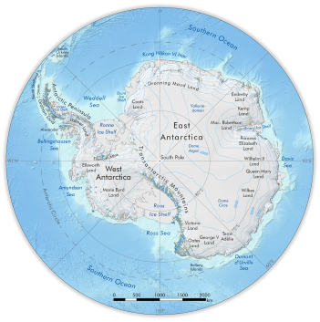
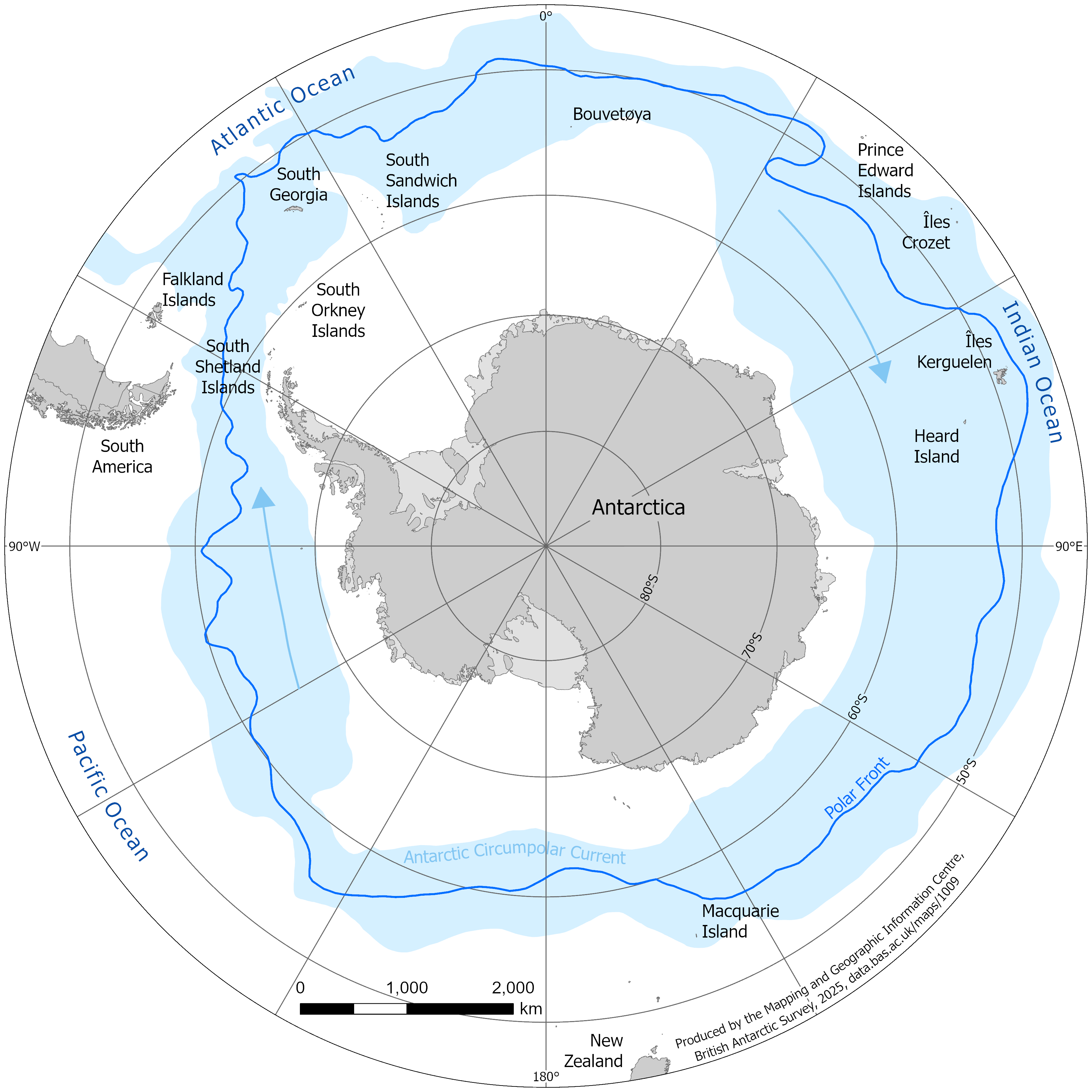
A map of sub-Antarctic islands and the Antarctic Circumpolar Current
- Collections
- Edition
- 1
- Published
Produced by the Mapping and Geographic Information Centre, British Antarctic Survey, 2025, version 1, https://data.bas.ac.uk/maps/1009.
A map of sub-Antarctic islands and the Antarctic Circumpolar Current, with the Polar Front also shown. The map covers the region south of 45°S and selected place names are shown, primarily for the sub-Antarctic islands.
Map projection: WGS84 Antarctic Polar Stereographic: Central Meridian 0°, Standard Parallel 67°30'S
Data sources and references can be found in the lineage.