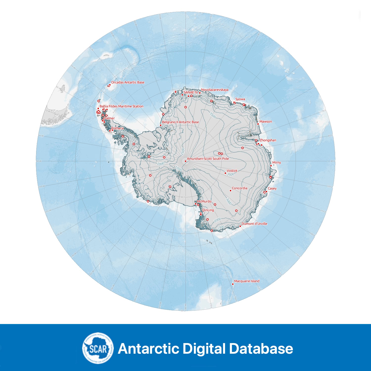
Medium resolution vector polylines of the Antarctic coastline
- Collections
- Edition
- 7.12
- Published
Gerrish, L., Ireland, L., Fretwell, P., Cooper, P., & Skachkova, A. (2026). Medium resolution vector polylines of the Antarctic coastline (Version 7.12) [Data set]. NERC EDS UK Polar Data Centre. https://doi.org/10.5285/37ad06ff-888d-452c-be85-018e59600103
If using for a graphic or if short on space, please cite as 'Data from the SCAR Antarctic Digital Database, 2026'.
Coastline for Antarctica created from various mapping and remote sensing sources, consisting of the following coast types: 'ice coastline', 'rock coastline', 'grounding line', 'ice shelf and front', 'ice rumple', and 'rock against ice shelf', provided as a surface attribute. Covering all land and ice shelves south of 60°S. Suitable for topographic mapping and analysis. This dataset has been generalised from the high resolution vector polyline. Medium resolution versions of ADD data are suitable for scales smaller than 1:1,000,000, although certain regions will appear more detailed than others due to variable data availability and coastline characteristics.
Changes in v7.12 include updates to the ice shelves around Alexander Island, such as Wilkins, George VI and Bach Ice Shelves; the coastline around Thwaites and Pine Island Glaciers, Bryan Coast and Abbot Ice Shelf, and changes to the coast at Vaughan Inlet.
Data compiled, managed and distributed by the Mapping and Geographic Information Centre and the UK Polar Data Centre, British Antarctic Survey on behalf of the Scientific Committee on Antarctic Research.