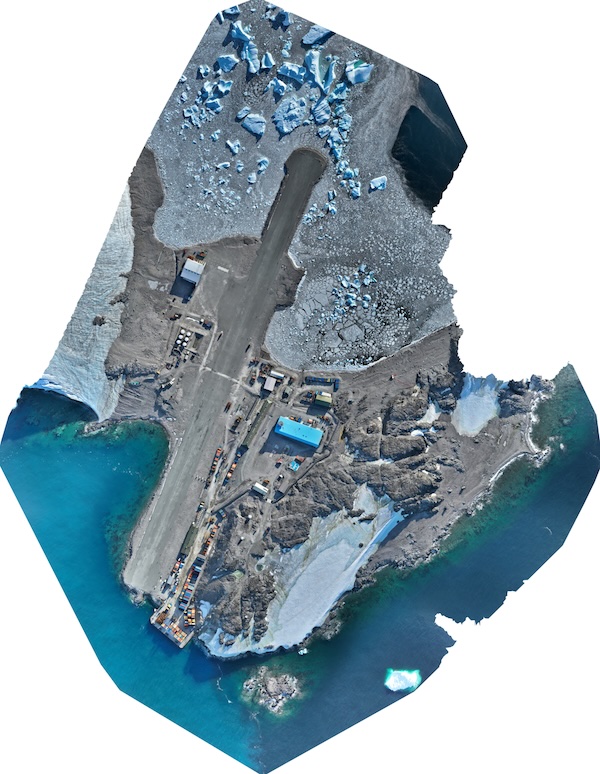
Rothera Progress Monitoring Orthomosaics
- Collections
- Edition
- 1
- Published
A collection of UAV-derived orthomosaics of Rothera Point acquired by the BAS Engineering Team for site progress monitoring and general visual reference.
Warning
The imagery in this collection is not survey-grade and has known positional accuracy limitations.
These datasets are intended for qualitative visual reference only and must not be used for survey, measurement, setting out, design verification, engineering assessment, asset positioning, or any application requiring reliable positional accuracy.