Field Map - Mars Oasis
- Collections
- Edition
- 1
- Published
- Access
- Restricted
Produced by the Mapping and Geographic Information Centre, British Antarctic Survey, 2025, version 1, https://data.bas.ac.uk/maps/2052.
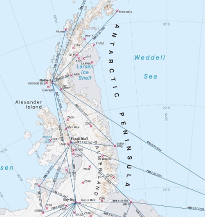
Topographic map of Mars Oasis region, showing the location of a previous field site with distance radii in 500 m intervals. Contours and spot heights are shown. Mapped over a Sentinel-2 image from January 2024. For use in operations planning during the 2025-26 operational season.
Projection: WGS84 UTM Zone 19S. Vertical Datum: EGM08.
Data sources and reference can be found in the Lineage.