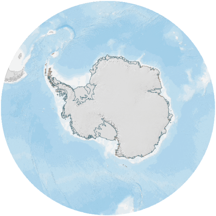
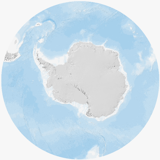
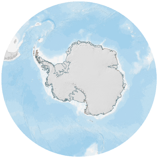
Antarctica and Southern Ocean basemap
- Collections
- Edition
- 2
- Published
Produced by the Mapping and Geographic Information Centre, British Antarctic Survey, 2026, version 2, https://data.bas.ac.uk/maps/5003.
A basemap of Antarctica and the Southern Ocean, south of 50°S. Consists of a hillshade for the land areas of Antarctica and the Sub-Antarctic, ocean bathymetry and coastlines of Antarctica and the Sub-Antarctic.
The basemap was created in the Esri platform. It is accessible as a map using Esri software. For users of other platforms, the 3 layers making up the map can be added individually.
See the Related tab to view the layers making up this basemap, and how to access them.
Created by the Mapping and Geographic Information Centre, British Antarctic Survey.
Projection: WGS84 Antarctic Polar Stereographic.