High resolution vector contours for Antarctica
- Collections
- Edition
- 7.3
- Published
Please cite this item as: 'Gerrish, L., Fretwell, P., & Cooper, P. (2020). High resolution vector contours for Antarctica (7.3) [Data set]. UK Polar Data Centre, Natural Environment Research Council, UK Research & Innovation. https://doi.org/10.5285/4bd20a2b-df7d-46a2-acdf-5104c82ff4c7'.
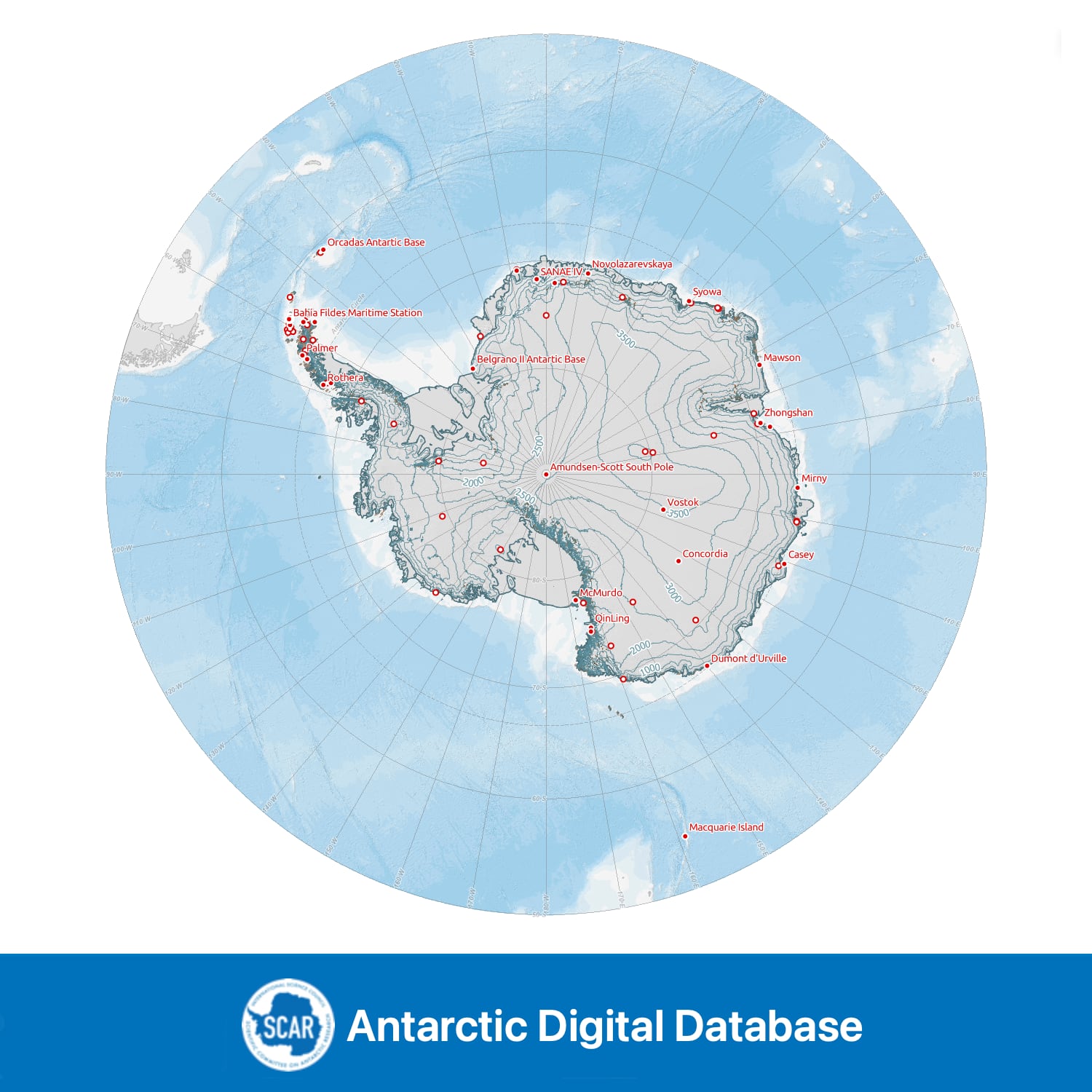
A continuous contour dataset at 100 m intervals for all land south of 60°S, excluding the Balleny Islands. The vertical datum of the contours is EGM2008. Contours are extracted primarily from the PGC Reference Elevation Model of Antarctica (REMA) v1.1 with certain islands filled from Copernicus WorldDEM. Further small areas are interpreted from satellite imagery, and Peter I Øy contours are from the Norwegian Polar Institute. Sources of individual line segments are contained in the attribute table and full compilation information is given in the lineage statement.
Note: contours overlap the coastline in small areas, due to resolution of the data used in creation of the lines, and potential errors in coastline and/or contour data. Certain areas are known to contain erroneous data due to faults in the original DEM data.
Data compiled, managed and distributed by the Mapping and Geographic Information Centre and the UK Polar Data Centre, British Antarctic Survey on behalf of the Scientific Committee on Antarctic Research.